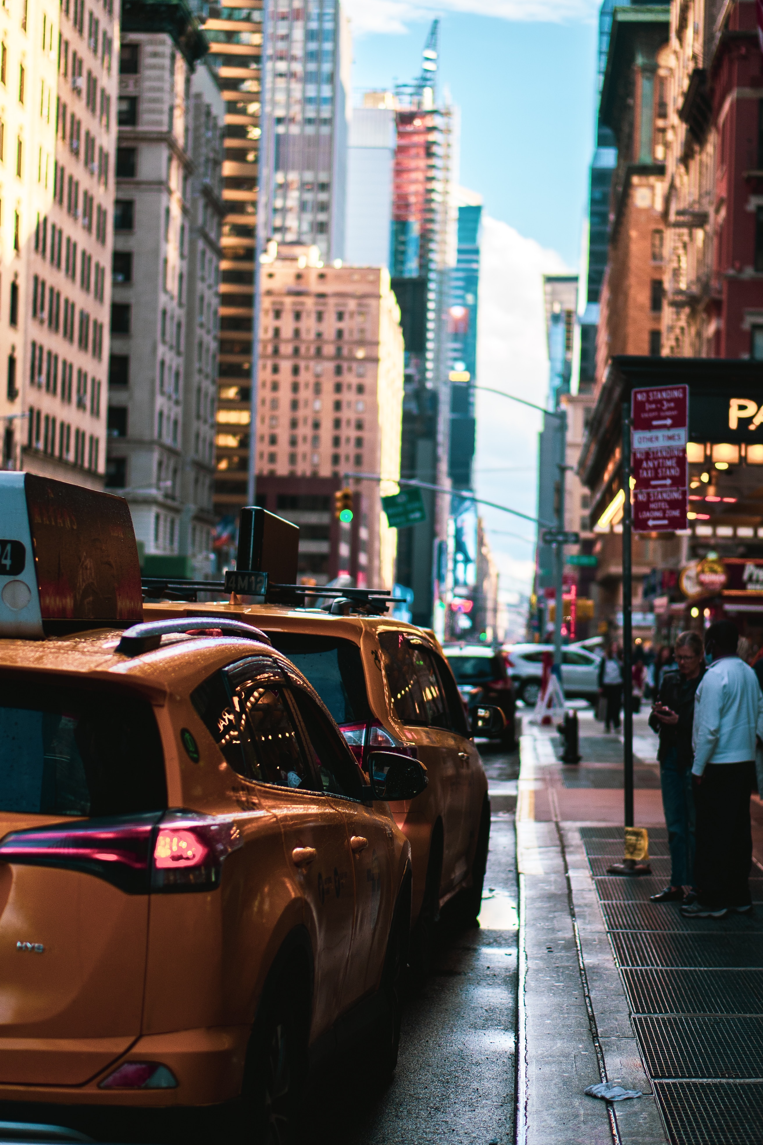
NYCDOT Curb Activity
How can we maximize the city’s curb space to serve the multiple and varied needs of New Yorkers?
Activity in New York City’s curb lanes has evolved dramatically in recent years.
The boom in e-commerce and food delivery, increases in for-hire vehicles and bike usage, bus-only lanes, the introduction of outdoor dining, and new concepts for waste containerization are rapidly reshaping how the curb lane is used and increasing the amount of competition for very limited space. In response, in September 2023 the NYC Department of Transportation (NYC DOT) released its Curb Management Action Plan, detailing action items to maximize the city’s curb space to serve the multiple and varied needs of New Yorkers. One of the ten actions in the plan is to test new technologies for remote and flexible curb management and enforcement.
Existing DOT tools and processes give us some picture of our curb, but their functionality and age either limit our understanding or make their use time-consuming. For instance, DOT uses timelapse cameras to collect curbside activity, but converting these images into usable data still requires manual identification of vehicles and their activity.
To follow up on the Curb Management Action Plan and enable better decision making and regulations, NYC DOT is taking a “blank slate” approach and calling for scalable technology to provide data that helps us better understand our:
1. curb inventory: what regulations, restrictions and features are where, and/or
2. curb activity: who is using the curb in what way.
Other technologies may include:
Tools to support efficient and orderly use of curb space for non-car uses, such as cargo bikes, micromobility devices.
Tools to enable use of curb space for recreation or commerce (e.g. street seats).
Tools that support using curb space to improve pedestrian safety (such as new ways to protect daylighted intersections).
Tools to prevent unauthorized use of curb space (e.g. retractable bollards).
Tools to more effectively communicate allowable curb uses (new markings or signage types, but which take into account maintenance issues).
Tools to monitor curb usage of various vehicle types (trucks, buses, bikes, etc.).
Curb loading zone reservation tools.
Challenge Finalists

AIWaysion
PARTNER AGENCY
NYC Department of Transportation
Provides an integrated camera, edge computing board, and communication module within one unit to monitor curb parking events.

AppyWay Ltd
PARTNER AGENCY
NYC Department of Transportation
Utilizes LiDAR imagery and existing curb data to provide a comprehensive digitized curb inventory, enabling municipalities to fully manage curb regulations, parking permissions, and payments, and unlock net zero mobility.

Populus
PARTNER AGENCY
NYC Department of Transportation
Provides a digital curb management software enabling municipalities to better understand curb demand, inventory and manage curb regulations, and actively manage new curb use cases with hardware-free smart zones. Populus integrates data from parking meters, sensors, cameras, and mobile pay, along with curb regulation inventories into a robust platform to improve curbside safety and efficiency in cities.
Timeline
FEBRUARY 28, 2024
Applications Due
MARCH 25-28, 2024
Pitch Day & Demo Day (In-Person Event)
APRIL 29, 2024
Proof of Concepts Begin
MAY 21-22, 2024
Mid-Point Check-Ins and Leadership Meetings (In-Person Event)
JUNE 25-26, 2024
Final Presentations and Pilot Selections (In-Person Event)
OCTOBER 2024
Pilot Period Begins
Information Session
RECORDED: FEBRUARY 15, 2024, 1:00 PM ET
Learn more about the Transit Tech Lab, the application process, and hear from transit agency subject matter experts.
Resources
NYCDOT’s main road map for curb management
Inventory of public comments regarding curbspace in the Upper West Side
Inventory of comments related to loading zones and street space from city residents.
An inventory of curb regulations that NYCDOT’s Sidewalks Inspection Management (SIM) team maintains.
An example of technology currently in progress as a pilot.
A comprehensive report of MTA’s approach to managing street level activity.
An example of the types of solutions NYCDOT is interested in exploring.
Terms & Conditions
Please review our Terms & Conditions which govern participation in the Transit Tech Lab.
Access to decision makers
As an entrepreneur, your time is valuable. We understand that you need quick product feedback and access to customers. The Transit Tech Lab facilities introductions to decision makers and cuts through red tape.
Transparent structure
We enable testing with large, hard to reach public sector customers and provide a transparent structure with accelerated go/no-go decisions.
Scalable results
If you can make it in New York City, you can make it anywhere. Participating in the Transit Tech Lab gives your company global credibility to scale your product.


